Land kept open for good along the Alder River · since 1991
Seven preserves, open dawn to dusk, free.
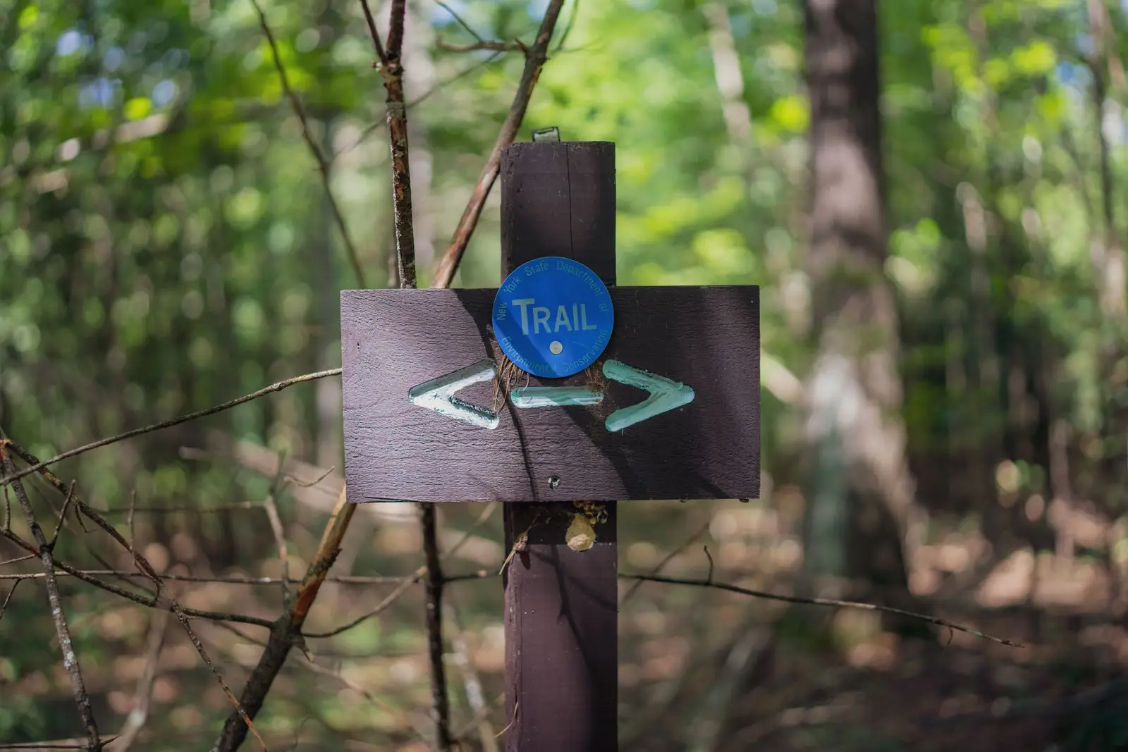
Fourteen miles of trail on 1,240 acres the trust owns. Check the board before you drive out: we post each preserve’s status every morning, with the reason when a trail is muddy or shut.
Today
If a status is more than a week old, call the office before you go: (555) 010-0191.
Posted 29 September, 12:15 p.m. by the stewardship team
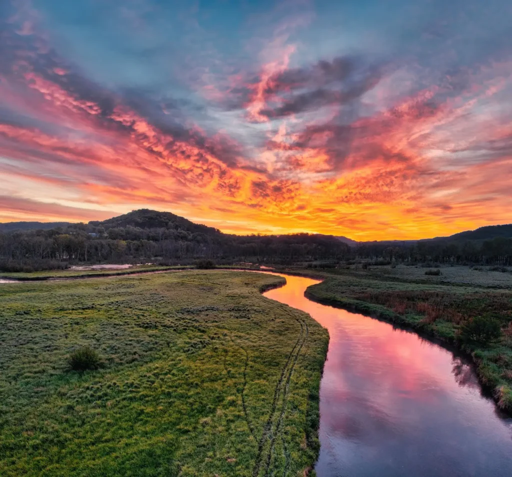
Plate I — The Bend. Stock photograph standing in for the preserve.
The Bend
The oxbow meadow where the trust began in 1991: river terraces, cottonwoods, kingfishers on the cutbank, and the widest view of the river bend.
- Hours
- Dawn to dusk, every day. Free.
- Dogs
- On leash.
- Parking
- Gravel lot for 20 cars at the end of Oxbow Road.
- Trailhead
- From Kettleford take Front Street west over the Alder River bridge, then the first left onto Oxbow Road; the trailhead is at the end.
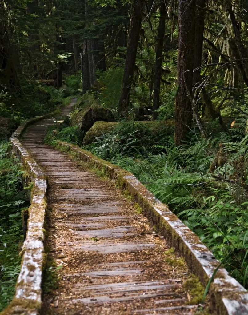
Plate II — Heron Slough. Stock photograph standing in for the preserve.
Heron Slough
A boardwalk loop over the wetland, the heronry across the water (bring binoculars), and the 64-acre addition bought in 2023.
- Hours
- Dawn to dusk, every day. Free.
- Dogs
- No dogs. No dogs: great blue herons nest here March to July.
- Parking
- Roadside pull-out for 8 cars on Slough Lane; overflow at the Grange hall.
- Trailhead
- Slough Lane, two miles north of town off Route 9. Look for the blue gate.
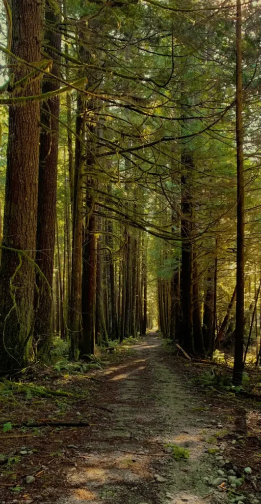
Plate III — Tarrow Ridge Forest. Stock photograph standing in for the preserve.
Tarrow Ridge Forest
The largest preserve: second-growth Douglas fir and cedar, a steady climb, and the long view over the Bend from the saddle.
- Hours
- Dawn to dusk, every day. Free.
- Dogs
- On leash.
- Parking
- Lot for 30 cars at the top of Ridge Road; the last mile is gravel.
- Trailhead
- Ridge Road east from Kettleford for six miles; the lot is on the left after the cattle guard.
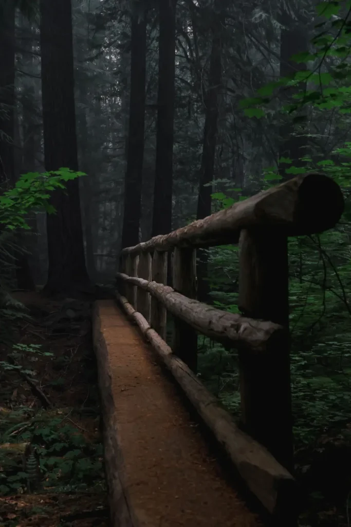
Plate IV — Mill Creek Woods. Stock photograph standing in for the preserve.
Mill Creek Woods
Lower switchbacks are wet after the rain. Wear boots; the upper loop is dry. Posted today, 12:15 p.m..
A creek canyon with a log footbridge, big-leaf maples, and coho in the creek from late October.
- Hours
- Dawn to dusk, every day. Free.
- Dogs
- On leash.
- Parking
- Small lot for 10 cars at the old mill site.
- Trailhead
- Mill Creek Road from Route 9; the lot is past the second bridge.
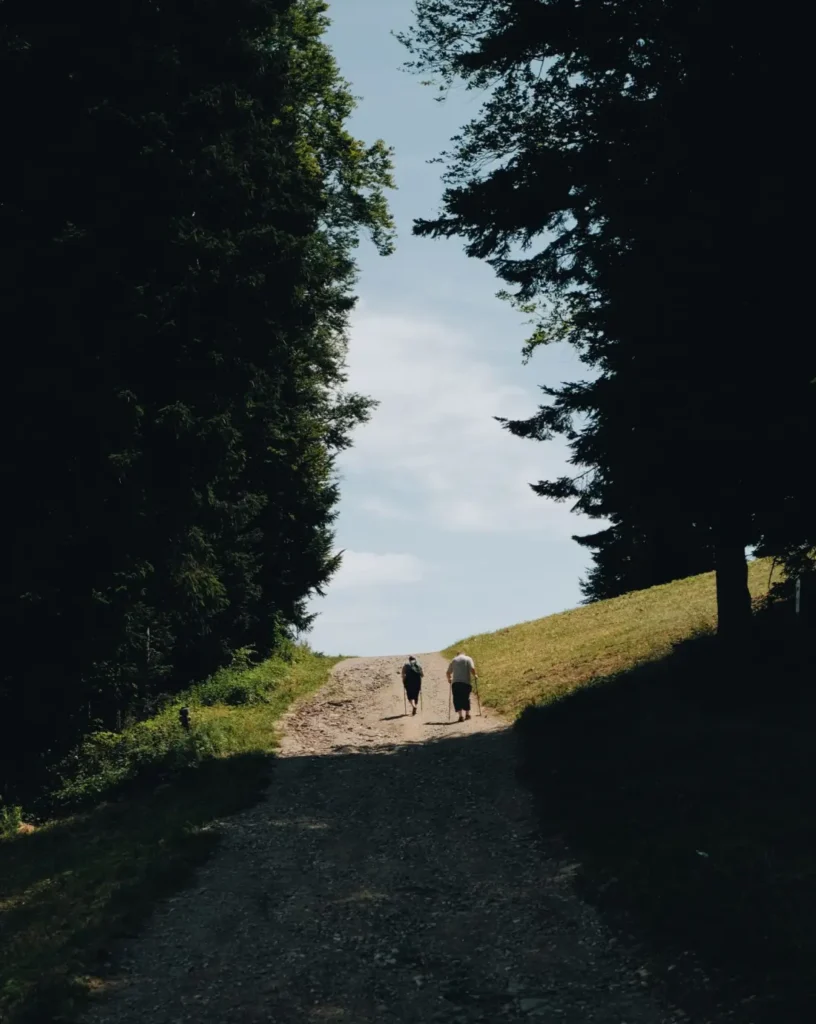
Plate V — Kettle Prairie. Stock photograph standing in for the preserve.
Kettle Prairie
A restored prairie on a glacial kettle, camas in April, and the one flat walk in the valley, good for strollers on the mown path.
- Hours
- Dawn to dusk, every day. Free.
- Dogs
- No dogs. No dogs: meadowlarks and other ground-nesting birds.
- Parking
- Shoulder parking on Prairie Road for 6 cars.
- Trailhead
- Prairie Road, one mile south of the county fairgrounds.
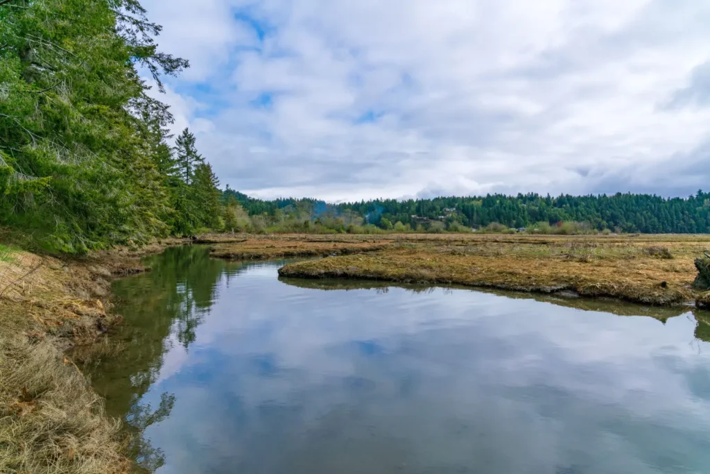
Plate VI — Salmonberry Flats. Stock photograph standing in for the preserve.
Salmonberry Flats
The floodplain the volunteers are replanting: willow stakes, side channels for young salmon, and salmonberry thickets along the path.
- Hours
- Dawn to dusk, every day. Free.
- Dogs
- On leash.
- Parking
- Lot for 15 cars beside the Grange hall.
- Trailhead
- Behind the Grange hall on Route 9; follow the path past the barn.
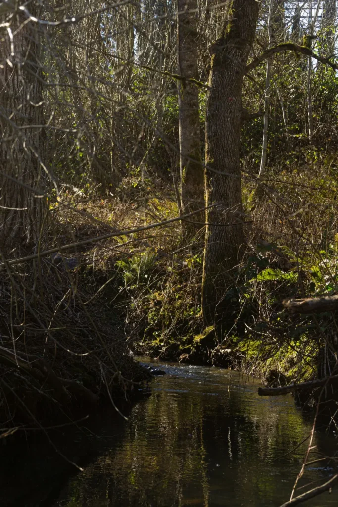
Plate VII — Cutbank Trail. Stock photograph standing in for the preserve.
Cutbank Trail
High water on the lower loop. The river is over the path below the cutbank; we will reopen it when the water drops and we have walked it. Posted today, 12:15 p.m..
A river-edge trail under the cutbank, the best place to watch the Alder rise and fall. It floods most winters, which is why we check it every morning.
- Hours
- Dawn to dusk, every day. Free.
- Dogs
- On leash.
- Parking
- Lot for 12 cars at the river access on Levee Road.
- Trailhead
- Levee Road, south from the Front Street bridge; the lot is at the river access.
Dogs
On leash at five preserves. None at Heron Slough, where herons nest, or Kettle Prairie, where birds nest on the ground.
Leave it as you found it
Stay on the path, carry out what you carry in, and leave flowers and fungi for the next walker.
Something wrong on a trail?
A fallen tree, a washed-out step, a gate left open: call (555) 010-0191 or write to the office. We walk it within a day.